PRECISION FARMING is one of the top revolutions in the field of agriculture. It is also called Satellite farming or Site Specific Crop Management that deals with making the smart decisions on the basis of predictive analysis about farm management practices i.e. inputs, planting and harvesting schedule, soil and weather conditions and intricate cost related aspects. The concept of precision agriculture was first evolved in USA in 1980s which was later on adopted by other countries like Canada and Australia.
In precision agriculture, geospatial techniques are applied which involve both the data collection and management information along with the computer processing, plants monitoring, remote sensing and designing. This whole strategy helps in time management and control of inputs for improved qualitative and quantitative yield. Therefore, spatial and temporal analysis is significant.
One of the important purposes of precision agriculture practice is to evaluate the natural soil variability of a field. If the soil in one area holds water better, crops can be planted more densely and irrigation can be spared. But if the soil is of inferior quality, the plot can be used for grazing.
There are a lot of technologies being used in this field for example global positioning system (GPS) and GPS computer guided tractors and harvesters.
Other practices like geo-referenced site specific crop management may include; electromagnetic soil mapping, soil sample collection, crop yield data collection, aerial imagery, crop or soil color index maps, soil types and characteristic, drainage level and potential yields.
Remote sensing application in agriculture is basically a survey of field or crop without being in physical contact with it. This application works on the principle of radiations reflectance properties of soil water and crop plants. Typically, reflectance measurements are taken by instruments like cameras, unmanned aircrafts, tractors and hand held sensors. Light from sun is reflected or even transmitted or absorbed according to material it strikes with. The reflected light from the required surface can be photographed or can be recorded by electronic sensor.
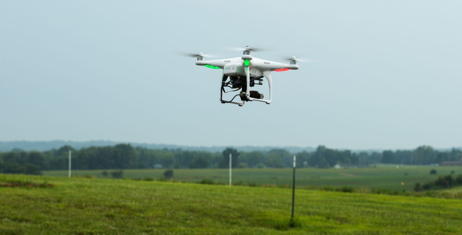
Agricultural drones are one of the breakthroughs in remote sensing agricultural technologies which are means of more productive and effective farming. Using these drones, farmers will not have to do hectic job of walking into the field of thousands acres to find out the yield limiters. The health condition of crops can be simply analyzed by flying this drone/UAV over the field and stressed area is pointed out by taking pictures.
The drone is equipped with a camera and controlled by an autopilot. High resolution images of hundred acre fields are captured in a single flight even when there is cloud over. Images can be opened on your smart phones or tablets to identify and address the distress areas.
The aerial images are then interpreted which involves Crop development pattern and management practices in particular area of field can be controlled by the data recorded by printing the aerial images. In case of very large field, achievement of this purpose can be challenging. But this issue can be resolved by using specific software in handheld computers that are connected to GPS. The software can download the images recorded by remote sensing technology. So it can guide a scientist or researcher to locate specific areas in the field to differentiate in leaf and stem damage pattern and leaf color variations. In addition to this, by analyzing different factors related to crop plants and soil properties; for example plant type, size and vigor, seed rate, variety, fertilizers, physical characteristics of soil and drainage properties etc. researcher can predict and determine the cause of variations.
Likewise, remote sensors for the detection of weeds and damages due to insects and pests are also available which help in selective application of herbicides and to plan management of crop plants against insects and pests.
This article is just a small overview of precision technology that is in fact a vast advanced field and works jointly with many other scientific areas.
Due to increasing need of growing population in the world it is necessary to advance and improve the technology in the field of agriculture. The efficient management of crops can be done with the collaboration of engineers and agriculturists and good conventional scouting. However, high cost, technical skills and additional time can be challenging factors in this way.