Simon Klemperer, a geophysicist from Stanford University, and his colleagues decided to take a page from geochemists’ playbook to learn how the Tibetan Plateau gained the nickname “the roof of the world.”

The Tibetan Plateau or roof of the world has long represented both an opportunity and a conundrum for geophysicists. This vast tableland is the product of a long, slow collision between the Indian and Eurasian continental plates—a collision that began about 50 million years ago and is still going on today. As the only active continental collision site in the world, the plateau provides a unique opportunity to understand what happens when continents meet. But the long time frame and the great depths over which the collision has been occurring have left scientists puzzling over how exactly the plates are coming together.
In one model, the Indian plate is slipping neatly underneath Asia, forming two parallel layers like a cake with two tiers. In the other, the collision has caused the Indian plate to take an abrupt turn toward Earth’s core, leaving the Eurasian (or Asian) plate directly on top of Earth’s mantle. Scientists have long analyzed the composition of Tibet’s surface rocks, as well as the area’s volcanic and seismic activity, to discern which model is closer to the situation found today.
Simon Klemperer, a geophysicist from Stanford University, and his colleagues decided to take a page from geochemists’ playbook to learn how the Tibetan Plateau gained the nickname “the roof of the world.” Over the better part of the past decade, the researchers analyzed helium isotopes in water collected from more than 200 geothermal springs to discern from which layer of the Earth the water emanated. The team’s results suggest that the Indian plate plunges deeply beneath the Asian plate, but experts in the field say that many questions still remain.
A Journey Across the Roof of the World
Klemperer and his colleagues teamed up with a group led by Ping Zhao from the Chinese Academy of Sciences. The team collected samples across a sprawling area equivalent in size to the contiguous United States west of the Rockies, traveling by car, by motorbike, and on foot and traversing dirt roads, rivers, and canyons to find the springs.
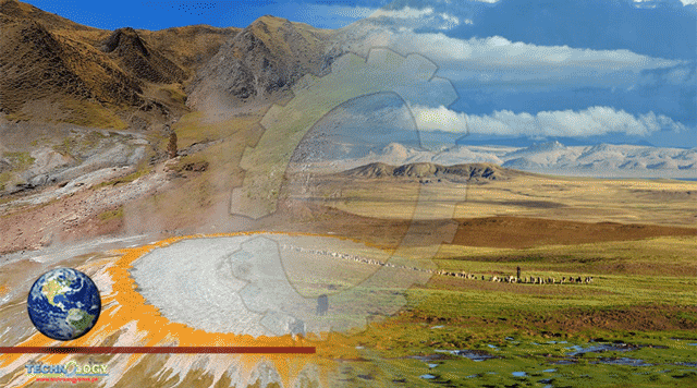
The team often relied on locals to help them, occasionally with surprising results. Once when they were trying to reach a spring that was surrounded by swamps, the researchers hired a local guide to show them a relatively dry route. Misunderstanding the team’s destination, the guide drove them to a different spring, about 80 kilometers from the nearest town, that wasn’t on any map or in any list of springs the researchers had seen. The feature, new to the scientists, “was like one of the big springs in Yellowstone, with terraces and travertine and orange and yellow and white, spanning a kilometer,” Klemperer said.
“One can still be an explorer, even today,” he added.
Sometimes the team failed to find springs that had been recorded in historical lists (“travelers’ tales, or maybe they just dried up,” Klemperer suspected). Other times, they found that the springs had acquired diverse uses. One had been converted to a laundry facility for the Indian army, and many had become religious sites. Altogether, the team collected samples from 225 springs across a thousand-kilometer-wide region.
Isotope Fingerprints
Earth’s layers contain characteristic ratios of the helium isotopes 3He and 4He, giving each layer “a specific fingerprint,” said Dennis Newell, an isotope geochemist from Utah State University not involved with the new research.
When Klemperer and his colleagues analyzed the helium isotope ratios in their water samples, a stark trend appeared: Samples collected in the northern plateau had high ratios of 3He/4He (as one would expect if Earth’s mantle underlies that region), whereas samples collected farther south had lower ratios, suggesting that Earth’s crust underlies this region.
The findings support the idea that the Indian plate plunges deep below the Eurasian plate after the two collide beneath the Himalayas. In fact, Klemperer has enough confidence in his team’s results that he said, “I honestly believe that textbooks will no longer show two different models of Tibet.”
Purdue University noble gas geochemist Marissa Tremblay, who is not involved with the research but has collaborated with some of the authors on other projects, said Klemperer’s results are in line with studies that draw on surface geology and volcanic activity to discern how the Tibetan Plateau formed. But she thinks geoscientists still need information about the past to round out their understanding of this region’s history. “This is a snapshot of what things look like today. And I think over the millions and millions of years that this collision has been ongoing, this might have looked very different,” she said.
Newell isn’t so convinced that Klemperer’s results show what’s happening on the modern-day Tibetan Plateau. He pointed out that helium isotopes take time to move from the layers underlying the plateau to the surface, where the researchers collected them. Klemperer and his colleagues wrote that this transit takes place over a few millennia—a quick time frame, geologically speaking. “I would argue that it’s not established in this paper that these things are moving as fast as a millennia,” Newell said. “When I see this, I don’t see today. I see a bit of a shadow of the past.”
Tremblay and Newell both emphasized that the study represents an impressive body of work and provides a wealth of new information about an important geological region. “Now it’s out there, and all of us as a community can think about it and think about alternative hypotheses,” Newell said. “And that’s what we do!”
This news was originally published by Eos.