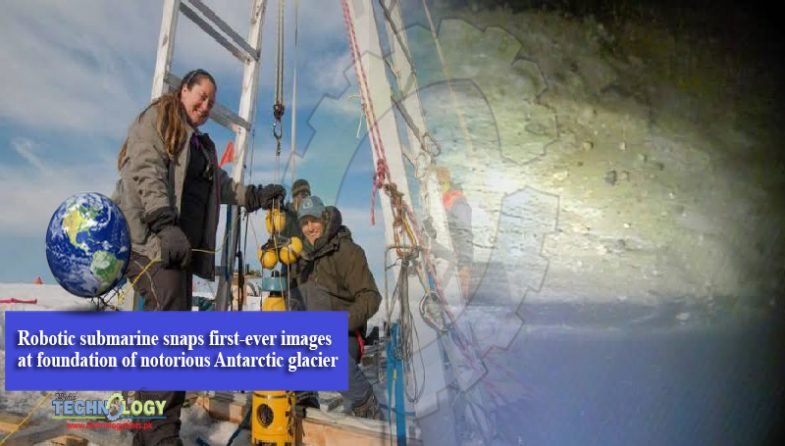
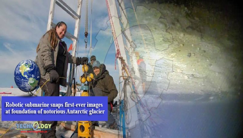
During an unprecedented scientific campaign on an Antarctic glacier notorious for contributions to sea-level, researchers took first-ever images at the glacier’s foundations on the ocean floor. The area is key to Thwaites Glacier’s potential to become more dangerous, and in the coming months, the research team hopes to give the world a clearer picture of its condition.

The images, taken by a robotic underwater vehicle, were part of a broad set of data collected in a variety of experiments by an international team. The International Thwaites Glacier Collaboration (ITGC) announced the completion of this first-ever major research venture on the glacier coincident with the 200-year anniversary of the discovery of Antarctica in 1820.
Already, Thwaites accounts for about four percent of global sea-level rise. Researchers have had concerns that a tipping point in the stability at its foundations could result in a run-away collapse of the glacier and boost sea levels by as much as 25 inches. By studying multiple aspects of Thwaites, the ITGC wants to understand more about the likelihood that the glacier the size of Florida may reach such instability in the coming decades.
Line of concern
The area of concern that the underwater vehicle visited is called the grounding line, and it is important to the stability of Thwaites Glacier’s footing. It is the line between where the glacier rests on the ocean bed and where it floats over water. The farther back the grounding line recedes, the faster the ice can flow into the sea, pushing up sea-level.
“Visiting the grounding line is one of the reasons work like this is important because we can drive right up to it and actually measure where it is,” said Britney Schmidt, an ITGC co-investigator from the Georgia Institute of Technology. “It’s the first time anyone has done that or has ever even seen the grounding zone of a major glacier under the water, and that’s the place where the greatest degree of melting and destabilization can occur.”
The underwater robot, Icefin, was engineered by Schmidt’s Georgia Tech lab. The Georgia Tech team was part of a greater collaboration between researchers from the U.S. and the British Antarctic Survey (BAS), who lived and worked on Thwaites in December and January. A BAS hot water drill melted a hole 590 meters deep (1,935 feet) to access the ocean cavity for Icefin.
“Icefin swam over 15 km (9.3 miles) round trip during five missions. This included two passes up to the grounding zone, including one where we got as close as we physically could to the place where the seafloor meets the ice,” said Schmidt, who is an associate professor in Georgia Tech’s School of Earth and Atmospheric Sciences. “We saw amazing ice interactions driven by sediments at the line and from the rapid melting from warm ocean water.”
Historic research venture
In the coming months and years, the ITGC team, made up of researchers from multiple universities and research institutions in the U.S. and the UK will publish studies with thorough findings based on the unprecedented data collected during the field campaign.
The array of research the scientists carried out research included seismic and radar measurements and using hot water drills make holes between 300 and 700 meters (985 and 2,300 feet) deep down to the ocean and glacier bed below Thwaites’ ice. Researchers also took cores of sediment from the seafloor and under parts of the glacier grounded on the bed to examine the quality of the foothold that it offers Thwaites.
“We know that warmer ocean waters are eroding many of West Antarctica’s glaciers, but we’re particularly concerned about Thwaites. This new data will provide a new perspective of the processes taking place, so we can predict future change with more certainty,” said Keith Nicholls, an oceanographer from the British Antarctic Survey.
Nicholls is a co-principal investigator on the project that involved Schmidt along with David Holland of New York University. The research is funded by the National Science Foundation, the UK Natural Environment Research Council, the U.S. Antarctic Program, and British Antarctic Survey.
Antarctica sea-level background
Over the past 30 years, the amount of ice flowing to the sea from Thwaites and its neighboring glaciers has nearly doubled.
“While Greenland’s contribution to sea level has already reached an alarming rate, Antarctica is just now picking up its contributions to sea level,” Schmidt said. “It has the largest body of ice on Earth and will contribute more and more of sea level rise over the next 100 years and beyond. It’s a massive source of uncertainty in the climate system.”
