
A Digital Aerial Archaeology Tool Will Allow People To Discover Previously Unknown Details About Local Landscapes
A digital aerial archaeology tool will allow people to discover previously unknown details about local landscapes, including prehistoric hill forts, Roman settlements and cold war military installations, through virtual flights over England. The virtual map is like a “huge archaeological jigsaw puzzle,” according to Historic England, the agency that looks after the country’s historic environment. The Aerial Archaeological Mapping Explorer contains thousands of sites identified on half a million aerial photographs covering more than half the country. Further archaeological remains have been identified using airborne laser scanning technology known as lidar (light, detection and ranging), which creates 3D images of the Earth’s surface. “This new aerial archaeological mapping tool lets people fly virtually over England and drink in its many layers of history,” said Duncan Wilson, chief executive of Historic England.
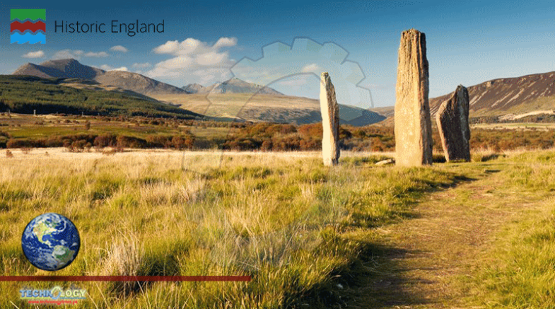
“It will allow everyone to explore the hidden heritage of their local places and what makes them special. We hope it will give people a springboard to further investigation, whether for research purposes or simply to satisfy curiosity.” Every site that has been mapped has links to full online records held by Historic England. The agency is continuing to map and analyse other areas of the country not yet covered by the explorer tool. The earliest sites date to approximately 6,000 years ago, and include long barrows, flint mines and causewayed enclosures of the early Neolithic period. The most recent sites belong to the 20th-century cold war period. There are also bronze age round barrows,iron age hill forts, Roman camps, settlements and field systems representing several millennia of activity.
The sites include a prehistoric hill fort, evidence of medieval farming, 18th- and 19th-century coalmining and huge first world war training camps that housed up to 20,000 people at Cannock Chase in Staffordshire. Aerial photography in the Yorkshire Dales national park reveals the remains of settlements dating back to the prehistoric period, and traces of lead mine shafts from the post-medieval era.
At Newhaven in East Sussex, second world war anti-invasion defences built along the coastline can be seen. Military installations along the south coast, East Anglia and Yorkshire include camps, airfields, anti-tank lines and anti-aircraft batteries. The mapping allows archaeological features to be seen “not just as individual sites, but as part of complex, multi-period landscapes”, said Historic England. The National Trust has also used lidar technology to survey the 13,500-acre Wallington Estate in Northumberland to expose features of the landscape not visible to the naked eye.
The findings will help the trust decide where to plant 75,000 British native trees over the next few months as part of its programme to tackle climate change. The discoveries on the estate, which was given to the trust in 1941, include historic farming systems, former pleasure gardens and iron age camps. Lidar scanning also revealed former areas of woodland the trust hopes to recreate. “This is an exciting moment in the 5,000-year history of this special estate,” said Mark Newman, the trust’s archaeological consultant. “All these discoveries will be investigated further to ensure none are impacted by the upcoming planting plans, and to preserve their archaeology for future study.”
This news was originally published at The Guardian