Meteorologists observe and forecast the weather, their research mainly focuses on atmospheric research or operational weather forecasting.
Meteorologists are scientists who use scientific principles to study the atmosphere and its many changes. According to National Geographic, meteorologists observe, explain, and forecast the weather. Their research mainly focuses on atmospheric research or operational weather forecasting.
Likewise, meteorologists at NOAA’s National Weather Service use different tools to monitor the conditions of the atmosphere that might affect the weather. These technologies have advanced over the years and become more efficient to collect and use data.
Here are six tools that meteorologists of NOAA’s National Weather Service use to forecast the weather.
Automated surface-observing systems
The Automated Surface Observing Systems (ASOS) is a joint initiative of the National Weather Service (NWS), the Federal Aviation Administration (FAA), and the Department of Defense (DOD). It serves as the primary surface weather observing network of the US with over 900 stations across the country.
ASOS is designed to report data about the sky conditions, surface visibility, precipitation, temperature, and wind. It is designed to support weather forecast activities and aviation operations.
AWIPS
NOAA’s Advanced Weather Information Processing System (AWIPS) is a technologically advanced computer processing system that integrates all meteorological and hydrological data with satellite and radar imagery that the forecasters use to analyze data, and prepare and issue weather forecasts. AWIPS generates weather graphics and hazardous weather watches and warnings after meteorologists prepare the forecasts.
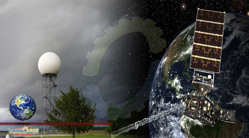
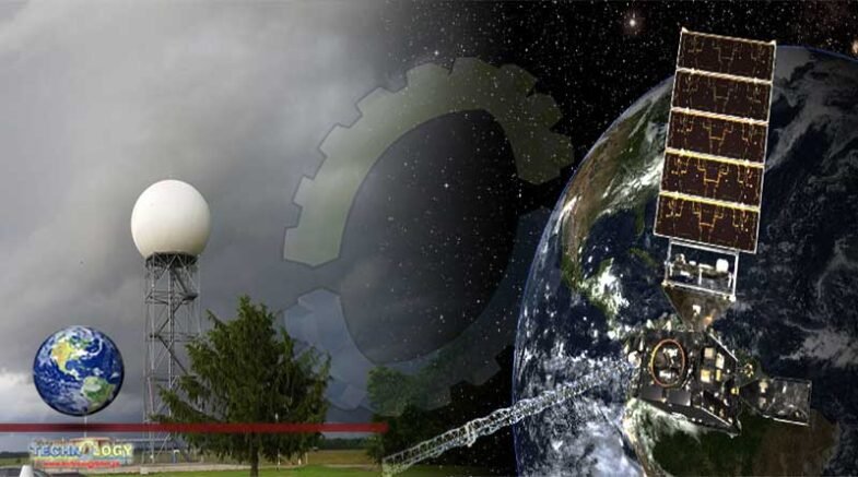
Doppler Radar
Meteorologists use Doppler Radar systems in observing severe storms that might happen. There are a total of 159 Doppler radar towers across the United States. According to Science Daily, the Doppler Radar systems use the Doppler effect to measure the radial velocity of targets in the directional beam of the antenna. It can detect all types of airborne tornado debris, precipitation, rotation of the thunderstorm clouds, and wind strength and direction.
Radiosonde
The radiosonde is the country’s primary source of upper-air data. It is a small, expendable instrument package that weighs 250 to 500 grams suspended below a large balloon inflated with helium or hydrogen gas.
The radiosonde is launched at least twice a day in 92 locations across the country to collect and send back data every second during its two-hour trip about the air pressure, temperature, relative humidity, and wind speed, and direction.
Supercomputers
Supercomputers are being used around the clock by the National Weather Service to accurately produce forecasts, weather watches, warnings, and a lot more data for the public.
The Weather and Climate Operational Supercomputer System (WCOSS) of NOAA is the backbone of modern forecasting with 5.78 petaflop computing capacity that enables it to process quadrillions of calculations per second. It is almost 6 million times more powerful than an average desktop computer.
Weather Satellites
Weather Satellites monitor the Earth’s atmosphere from space by collecting observation data that scientists then analyze. It plays an important role for all scales of the National Weather Service forecasting operations. Satellite data complements the data from land-based systems, like the weather radars, radiosondes, and surface observing systems.
NOAA uses three different weather satellites. The deep-space satellites monitor the powerful solar storms and space weather, while the geostationary satellites take images of the entire Earth every 30 seconds, and the polar-orbiting satellites take six or seven detailed images a day.
Originally published at Science Times