
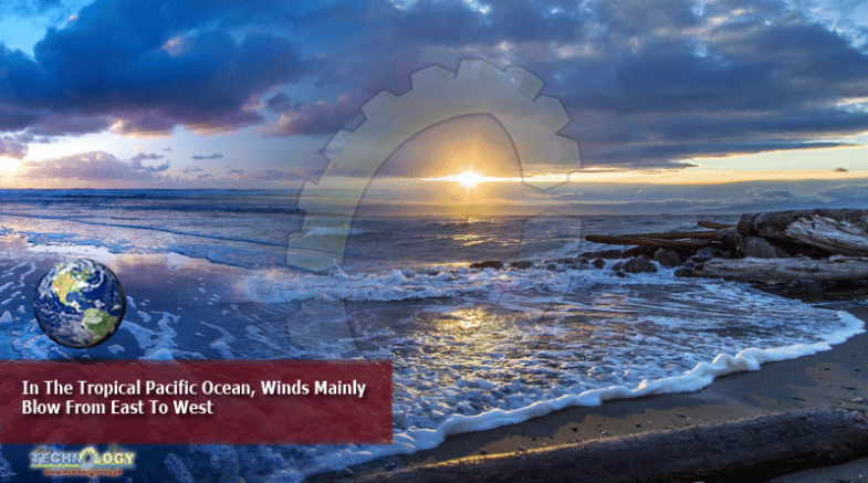
As Warm Water Moves Towards The Central Pacific Ocean, Rain Clouds Follow. These Predictable Trade Winds, As They Are Known
keep warm water confined around maritime continent.
But during an El Nino, the trade winds weaken. This means the pool of warm water is no longer confined to the region.
This is why during an El Nino event, South-east Asia experiences less rain, and hotter weather.
But during a La Nina event, the opposite happens.
The trade winds intensify, causing warm water to be more tightly confined around the maritime continent. This concentrates the moisture supply which fuels the formation of rain clouds that bring more rain.
But weather scientist Koh Tieh Yong from the Singapore University of Social Sciences (SUSS) noted that the rainfall experienced in the first half of this month is not likely to have been influenced by La Nina.
Instead, the increased rainfall is likely due to the observed stronger winds blowing from the tropical Indian Ocean, which caused more rain clouds to form over South-east Asia, bringing more rain, he added.
Associate Professor Koh noted that as a La Nina event is still some way from fruition, its influence on September weather here is weak.
This means that for this month, other factors – such as atmospheric oscillations in the Indian Ocean – could have a stronger influence on weather here. Singapore sits between the Indian Ocean, located west of the country, and the Pacific Ocean, to its east.
This news was originally published at straitstimes.com