It’s been 40 years since the sideways explosion that changed volcanology forever.

On the morning of May 18, 1980, a volcano erupted not from its peak but from its side. In the minutes that followed, volcanic violence devastated the landscape, unleashing eight times more energy than was released by the sum of every explosive dropped during World War II, including two atom bombs.
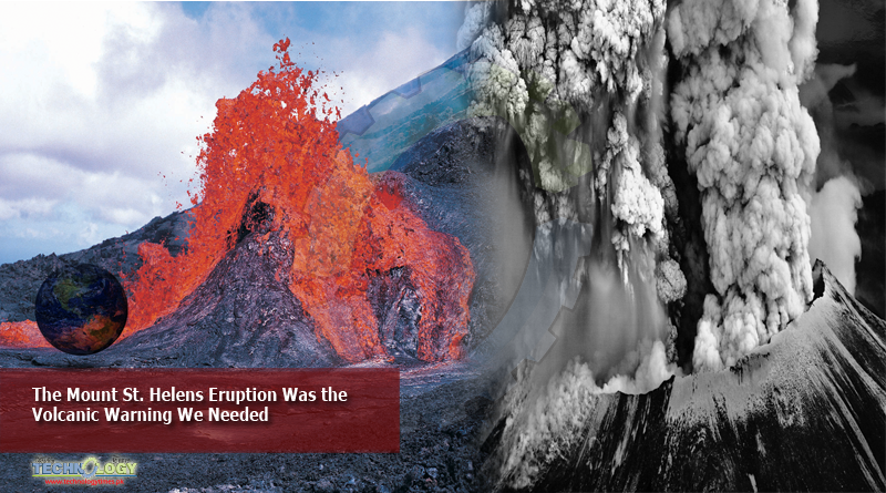
This was Mount St. Helens. Its explosion, the first major volcanic eruption in the lower 48 states for generations, killed 57 people scientists, photographers, hikers and people living in the shadow of the mountain.
Scientists knew that something wicked had been brewing beneath this stratovolcano in Washington State that lies between Seattle and Portland. During a period of less than two months, a bulge the size of a town had appeared on its north flank, a vast pimple of unusually positioned magma. But the singular ferocity and unusual dimensions of the eruption took almost everyone by surprise, serving as a reminder of how much the science of volcanology had yet to learn.
“The 1980 event was really a landmark for volcanology writ large,” said Seth Moran, the scientist-in-charge at the U.S. Geological Survey’s Cascades Volcano Observatory.
The eruption also showed how much more the contiguous United States needed to prepare for volcanic activity. While the country has 161 geologically active volcanoes, 10 percent of Earth’s total, only a handful on Alaskan islands and the Hawaiian archipelago made shows of force in modern history. Many Americans had forgotten about or remained unaware of the active but quiescent volcanoes of the Cascades, the mountainous spine snaking up the West Coast, said Jackie Caplan-Auerbach, a geophysicist at Western Washington University.
The spring of 1980 shattered that blithe unawareness, making “volcanic hazards a continental American issue,” she said.
ImageA geologist stood in an 18-inch-deep trench cut into the ash left by Mount St. Helens’s eruption on Coldwater Ridge, Wash.
A geologist stood in an 18-inch-deep trench cut into the ash left by Mount St. Helens’s eruption on Coldwater Ridge, Wash.Credit…Smith Collection/Gado, via Getty Images
Over the past 4,000 years, Mount St. Helens has been the most prolific volcano in the Cascades, erupting in a dizzying array of styles, from ear splitting explosions to rivers of lava. But by 1980, it had clocked 123 years of eerie serenity.
A magnitude-4.2 earthquake on March 20, 1980, clearly marked its reawakening. Thousands of vibrational swarms rocked the mountain over the next week, before ashy columns, some as high as 16,000 feet, burst skyward. Fresh craters opened, and by the end of the month the first seismic signals of migrating magma were detected.
Much of April featured seismic thundering and several more steamy, ashy explosions. But late April to early May was strangely quiet. State officials puzzled over its temperamental nature as scientists swarmed the mountain to listen to its irregular heartbeat.
Smoke and ash poured from Mount St. Helens on April 10, 1980, about a month before the historic eruption.
Smoke and ash poured from Mount St. Helens on April 10, 1980, about a month before the historic eruption.Credit…Jack Smith/Associated Press
Volcanologists were most concerned with the bulge that had appeared on St. Helens’s northern flank, which was expanding by five feet per day in early May. Some of them anxiously kept watch from Coldwater II, a newly built outpost on a ridge top 5.5 miles away.
From May 7, eruptive activity became more frequent and dramatic as the bulge grew, sometimes slower, sometimes faster. A magnitude-5.0 quake on May 12 caused an 800-foot-wide avalanche of icy debris on the north flank.
On the evening of May 17, according to a biography by Melanie Holmes, David Johnston of the U.S. Geological Survey settled in for a solitary shift at Coldwater II. At the crack of dawn the next day, he radioed observations to his colleagues in Vancouver, Wash. The bulge was now more than a mile across.
At 8:32 a.m. local time the next morning a magnitude-5.1 quake shook the volcano. At that very moment, according to a report published by Washington State, Keith and Dorothy Stoffel, husband and wife geologists, were making several passes of the volcano in a private plane. They saw the north face of Mount St. Helens transform into a fluid — rippling, pulsating, churning. Then it collapsed, shearing 1,300 feet off the summit in seconds. A volcanic cloud, incandescent with lightning bolts, quickly rocketed into the azure sky.
This tempest, one of the largest debris avalanches in recorded history, permitted the vast bulge of gloopy, gassy magma to explosively decompress. A frenzied blast pushed a colossal volume of superheated volcanic matter sideways out of Mount St. Helens at over 300 miles per hour, punching through the avalanche as it was still falling.
A thermal shock wave zipped across the land before a tsunami of debris, cooking at 660 degrees Fahrenheit, traveled 17 miles from the summit in just three minutes. It destroyed 230 square miles of forested land: trees within six miles were obliterated; those farther out were knocked down and seared. Thirteen miles from the volcano, plastic melted as the air burned.
“All eruptions really are unique, and they carry something in them that we haven’t seen before,” said Dr. Caplan-Auerbach. For Mount St. Helens, that idiosyncrasy came in the form of that nightmarish lateral blast.
Dr. Johnston, seeing the north face fall from Coldwater II, jumped on the radio. “Vancouver! Vancouver! This is it!” he cried. Moments later, the blast engulfed the 30-year-old scientist. On another ridge two miles behind him, Gerry Martin, an amateur radio operator who was observing the volcano for the Washington Department of Emergency Services, saw the annihilation of Coldwater II. His last words were: “It’s going to get me, too.”
After the lateral blast, an ash column shot 80,000 feet into the sky, blocking out the sun. Ash, 1.4 billion cubic yards worth, fell to Earth, damaging buildings, sewers, waterways and electronics across the state. Pyroclastic flows, raging avalanches of hot volcanic gas and fire, tumbled down the mountain at 80 miles per hour. Ash-filled mudflows damaged 200 homes and 27 bridges, and clogged rivers and lakes.
By day’s end, the storm subsided. A 2.2-mile-long hole now adorned the volcano. Although 57 people, and countless wildlife, had perished, some managed to survive: a few fishermen jumped into rivers to evade the conflagration; a family of hikers were serendipitously shielded by another mountain between them and the volcano.
It could have been worse. As the volcano’s activity ramped up in March, scientists had to continually persuade the authorities to restrict access to all but law enforcement, volcano monitoring teams and other essential staff. Some groups protested, in an echo of events now occurring during the coronavirus pandemic, pointing to the impact the no-go zones were having on the local economy. If it wasn’t for the vigilance and insistence of scientists such as Dr. Johnston, the death toll could have been in the thousands.
“They put everything they had into understanding what that volcano was going to do and to keep people out of the way, and at great personal loss,” said Janine Krippner, a volcanologist at the Smithsonian Institution’s Global Volcanism Program.
Ash clouds over from the eruption at Ephrata Municipal Airport in Washington on May 19.
The eruption caused research on America’s volcanoes to greatly intensify, said Brian Terbush, the earthquake/volcano program coordinator at Washington State’s Emergency Management Division. The disaster galvanized a diverse array of experts, converting many scientists working in other fields to the church of volcanology.
The calamity also highlighted the long-lasting effects of a volcanic convulsion. The eruption caused $2.7 billion of damage. The outlet to the sizable Spirit Lake was blocked by volcanic debris, threatening downstream communities with flooding. Engineers excavated a tunnel to drain the lake, a scheme that required costly tweaks and fixes in the subsequent decades.
Since 1980, wildlife reclaimed large swaths of the scorched earth, and Mount St. Helens began to heal its self-inflicted wound. Two lava domes oozed out of the mountain — one from 1980 to 1986, and another from 2004 through 2008 — growing out of the crater like scar tissue, nestling among a glacier that formed in the eruption’s aftermath, one of the youngest on the planet.
Aside from a few minor topographical twitches, the volcano’s surface has been tranquil since 2008. But seismic whispers suggest that its magmatic system is slowly recharging its cannons for another volcanic volley, years or decades in the future.
“In the world of geology, the mantra is that the past is the guide to the future,” said Dr. Moran, pointing to the volcano’s hyperactive history.
Mount St. Helens remains a profoundly hazardous volcano, but the fear and dread associated with May 18, 1980, is flecked by specks of hope. Forty years ago, people came together in a time of crisis and did what they could to save others, Dr. Krippner said. The same will hold true whenever the volcano roars back to life.
This news was originally posted on nytimes.com